
Indio ZIP Code Coverage
USPS lists three Indio city-name ZIPs: 92201, 92202, and 92203. They do not describe three equal residential zones. The first and third are street-delivery ZIPs. The middle code is tied to PO boxes associated with 92201. Postal routes can extend past an incorporated boundary, while a Census ZCTA is only an approximation of delivery geography. The directory therefore starts with the delivery relationship, then checks the city and parcel layers.
| ZIP | Areas Covered | Post Office | Notes |
|---|---|---|---|
| 92201 | Central and south Indio, the civic center, older core, and southern city | Principal Indio delivery ZIP | Postal reach can extend beyond the city line |
| 92203 | North Indio, I-10 and northern growth areas | Indio delivery ZIP | Includes developments and edge geography that require a boundary check |
| 92202 | PO boxes associated with Indio and 92201 | Indio Post Office boxes | Do not map it as a residential neighborhood or infer a home location |
That table is the useful distinction for ZIP-level work. A 92201 address can sit in the older civic core or farther south along the numbered-avenue grid. A 92203 address points toward north Indio and growth near I-10. A 92202 mailing label points to a box service. It does not identify a parcel, an occupant, or a house.
The USPS city and state ZIP lookup is the right first check for an Indio postal code. Its result sets the city-name relationship before a parcel search is read as local, giving the ZIP code directory a verified postal starting point.
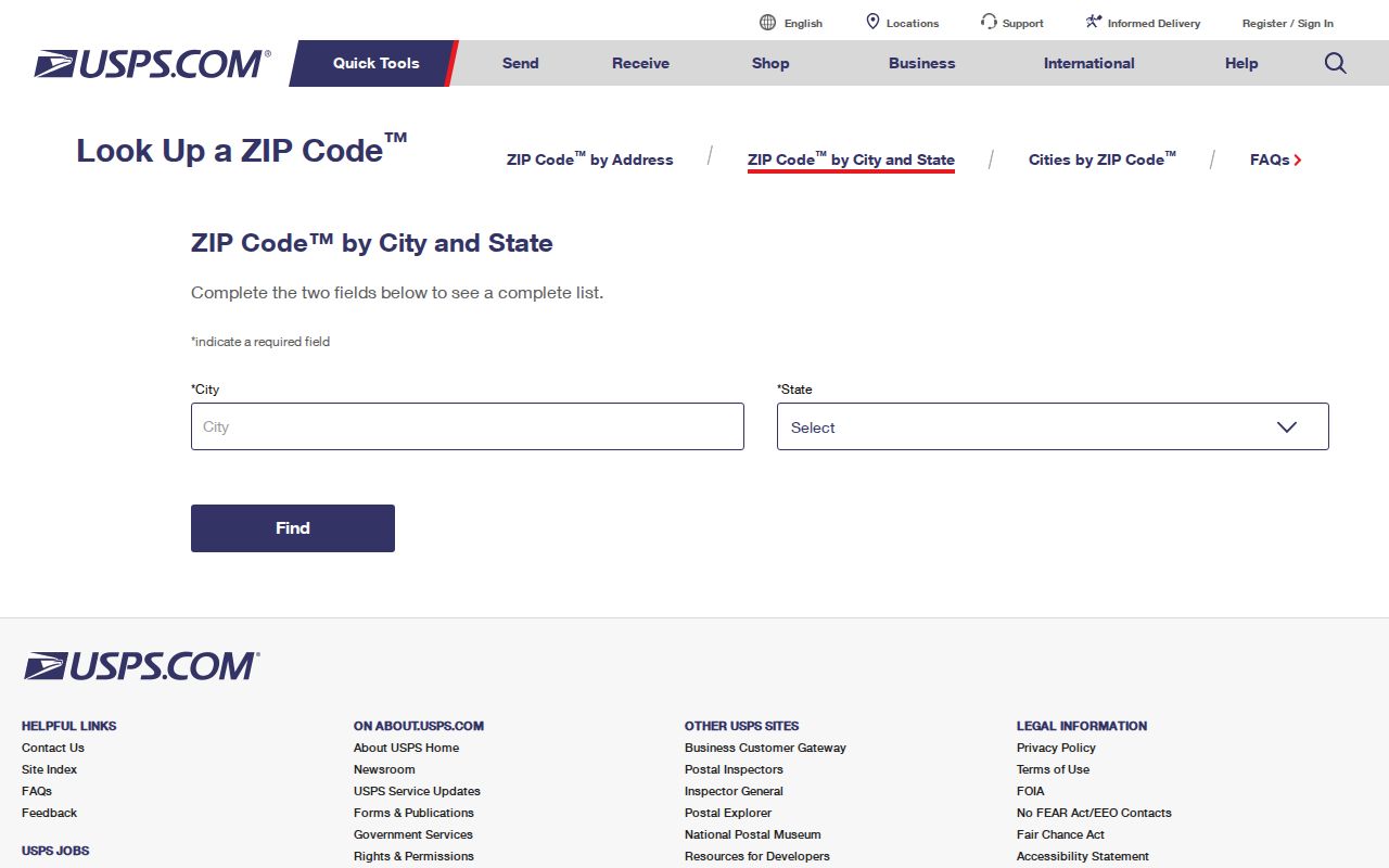
The USPS form verifies delivery naming. It does not turn the directory into a roster of residents, so the postal result still needs a city or county record check.
Indio ZIP Geography: 92202 PO Boxes
92202 is the key trap in Indio ZIP research. USPS associates it with PO boxes at the Indio Post Office, while 92201 carries the related street-delivery role. A box number is a mailing destination. It is not a street situs, an APN, or evidence that a person lives in a particular part of Indio. Treating 92202 as a neighborhood can send a records search to the wrong map layer.
The official USPS Indio Post Office details identify the Fargo Street office at 45-805 Fargo Street, Indio, California 92201-9998. The listed phone is 760-347-2092. Retail hours are Monday through Friday from 8:30 a.m. to 5 p.m. and Saturday from 9 a.m. to 1 p.m.; PO-box access is listed Monday through Saturday from 6 a.m. to 6 p.m.
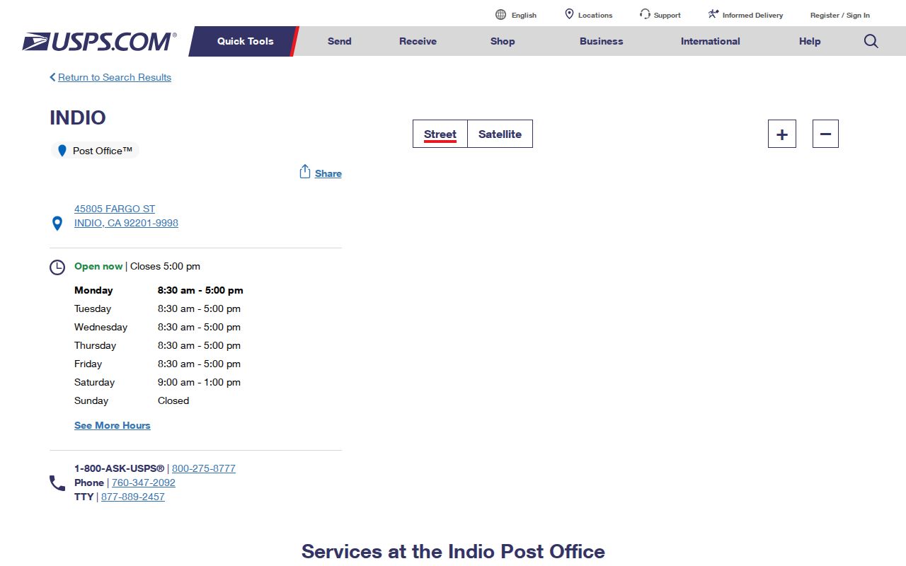
The Fargo Street details give a real access point for a 92202 question. They confirm the post-office relationship, but they do not change a PO-box ZIP into a parcel or resident search. That is the key boundary in an Indio ZIP code directory.
Insider tip: if a record carries 92202, keep the box number separate from any street address. A later parcel, deed, or city file must be checked on its own terms.
Riverside ZIP Search Fields
Riverside County tools do not share one ZIP search design. The property search is useful for moving from an address to an APN, but its documented workflow is not a ZIP-wide people list. The recorder index is party and document based. Map My County can show ZIP layers and parcel context. California voter data has an approved-purpose process rather than a casual public browse.
| Street Number | Text, used with the street name; numbers only. |
|---|---|
| Street Name | Text, used with the number; omit needless suffix terms when the county tip calls for it. |
| City or ZIP | Selector or text where offered; a cautious narrowing field because postal city and city limits can differ. |
| APN | Alternative text search for the county parcel identifier; keep the displayed formatting. |
| Search or Reset | Form controls. The documented online route does not offer an owner-name search. |
The Riverside County Property Search accepts the address and APN path shown above. Where a City or ZIP control appears, it may narrow an address result, but the research does not verify a ZIP-only owner result. Owner names are intentionally withheld online under county policy and are public at an assessor office.
For an office check, the nearby Palm Desert ACR branch is at 38-686 El Cerrito Road, Palm Desert, and lists 760-863-7800, hours from 8 a.m. to 4:30 p.m., appointments encouraged, and a drop box. It does not accept mail. Bring the address or APN that the ZIP and parcel checks have already stabilized.
County Map My County includes ZIPs as a layer and offers Address, APN, cross-street, legal-description, permit, district, query, and filter tools. That makes it ZIP-aware geography, not a public list of residents. The Recorder search has no documented ZIP field. It uses party name, document number, type, map type, book/page, and advanced filters. A voter-file request can state a geographic scope, but the captured California application does not promise a ZIP-only submission and requires an approved statutory purpose.
Note: A ZIP field narrows geography but does not turn the property or recorder index into a ZIP-wide resident list.
Finding Indio Residents by ZIP Code
A ZIP-wide search works best as a routing sequence. Start with delivery data, narrow the map, then select the record custodian that actually holds the needed fact. The Riverside property tool can return an APN and assessment facts. It cannot show every person connected to a parcel. The assessor office can provide ownership information when an address or parcel number is supplied. Voter information is more restricted: My Voter Status verifies a voter’s own record, while identifiable voter data requires an approved election, scholarly, journalistic, political, or governmental purpose.
- Confirm the ZIP and postal city with USPS. If the result is 92202, treat it as a PO-box relationship rather than a home area.
- Open the Indio GIS Map and turn on address, parcel, boundary, sphere, road, and ZIP layers. Save the parcel context.
- Run the street number and name, or the APN, through the Riverside property search. Record the situs, mailing distinction, legal description, and assessment date.
- For a permitted voter-file request, use the California application and the Riverside election office route. Do not use a voter file as a casual street browse.
- Once a ZIP narrows the work to a named street, use the Indio by-street directory for the address record chain.
If an approved purpose exists, the California voter-file request route requires an application and security certification. It can be mailed or hand delivered to the SOS Elections Division, 1500 11th Street, 5th Floor, Sacramento, with no fax or email route. A Riverside County file follows the Registrar of Voters route and its county-set fee. My Voter Status remains a voter’s own verification tool.
This order prevents a common error. A postal label can be right while the county office is wrong, and an APN can be right while the person question remains unproved. Each result should retain its source, date, and identifier.
Note: Postal confirmation should precede parcel or voter research because the same ZIP can cross a records boundary.
Indio Growth Layers and ZIP Codes
Indio’s scale makes ZIP context more useful, not less. Census QuickFacts reports 89,137 residents in 2020 and a July 2025 estimate of 94,269, a 5.6 percent rise from the revised 2020 base. Land area is about 33.2 square miles. Those totals describe population scale, not the people at one address, but they help explain why the directory must be read as a moving service map.
The older railroad and civic core centers on Oasis, Miles, Indio Boulevard, and Highway 111. Postwar and newer areas extend north across I-10 toward Terra Lago and Sun City Shadow Hills. The numbered avenues, including 38th through 46th and beyond, cross practical search areas. North growth therefore makes 92203 a useful first filter, while the civic core often points toward 92201. Neither shortcut replaces address verification.
The Census Bureau also reports five partially intersecting ZCTAs in the broader geography used for Indio research. A ZCTA is a statistical approximation built from delivery geography, not a city boundary. Use the Indio Census QuickFacts for context, then use USPS and the official maps for a record-level decision.
Postal ZIP Boundaries and Indio City Limits
Postal Indio, incorporated Indio, the city’s sphere of influence, and Riverside County parcel jurisdiction are separate layers. An address can carry an Indio ZIP while sitting near or beyond the incorporated line. The 2026 East Indio planning study and the city GIS layers show why planning geography can change the office route. Indio’s edges meet Coachella, La Quinta, unincorporated land, and tribal land, so a postal city alone cannot select the correct permit or records custodian.
For ZIP-based work, the practical mismatch is simple: USPS answers where mail is routed; city GIS answers which municipal boundary or sphere is shown; county parcel tools answer which APN and jurisdiction surround the situs. The ZIP may be stable for delivery while a record belongs to a city department, Riverside County, or another jurisdiction.
Mismatch check. Do not treat a 92201 or 92203 label as proof of incorporated Indio. Confirm postal assignment, city or sphere layer, and parcel jurisdiction before requesting records.
Note: Postal geography, city limits, spheres, and parcel jurisdiction overlap without becoming interchangeable boundaries for a records request.
Verify an Indio ZIP Three Ways
Three checks settle most Indio ZIP mismatches. They also preserve a clean trail when an old address, a hyphenated street number, or a PO-box label appears in a record.
- USPS delivery check: use the city and state form or the Fargo Street office details to confirm the mailing city, ZIP, and box relationship.
- Map check: use Indio GIS and Map My County to compare the address point, parcel boundary, city boundary, sphere, ZIP layer, and nearby roads.
- Custodian check: choose the city or county office that owns the record, then keep the APN, legal description, and source date with the request.
Indio addresses may include a hyphen, such as 81-025 Avenue 40. A database may normalize that value as 81025. Try the printed and normalized forms in separate searches, but do not silently change the source address. If the two forms land on different parcels, stop and ask the city planning or county parcel office to resolve the discrepancy.
ZIP Code Terms for Indio Searches
Postal terms can sound like parcel terms. These short definitions keep the Indio directory from promising more than a ZIP can show.
- ZIP versus ZIP+4
- A five-digit ZIP routes mail to a broad delivery area. ZIP+4 adds a more precise route or delivery segment; it is not an APN and does not prove residence.
- PO-box ZIP
- A ZIP used for post-office boxes. Indio’s 92202 relationship is the local example; it should not be drawn as a home neighborhood.
- Unique ZIP
- A ZIP assigned to one organization, building, or special delivery point. The Indio entries above are not being classified here as a unique ZIP.
- Carrier route
- A postal delivery path within a ZIP. Routes help explain service geography but do not define city limits.
- Census ZCTA
- A statistical area built to approximate ZIP geography for Census use. It can overlap a city or sphere without becoming either one.
Used together, these terms make a ZIP reference useful for routing a search while keeping postal, statistical, and legal land records distinct.
Note: A ZIP code is a delivery clue first; it is not an ownership, occupancy, or legal-boundary conclusion.